
The collision occurred at around 11:45 a.m. January 19, just north of Hearst Avenue between Second Street and Fourth Street
Berkeley, CA – A train struck and killed a pedestrian on the Union Pacific railroad tracks on Monday morning in Berkeley, according to the authorities.
The collision occurred at around 11:45 a.m. January 19, just north of Hearst Avenue between Second Street and Fourth Street.
According to the report, a pedestrian walking on the tracks was hit by a Union Pacific freight train. It’s unclear why the pedestrian was on the railroad tracks.
The Berkeley Police Department and Berkeley fire crews arrived at the scene shortly after. The pedestrian, who was not immediately identified, died at the site of the accident.
The train came to a stop just south of Camelia Street after hitting the pedestrian. No one on the train reported any injuries in the incident.
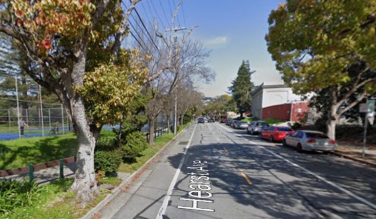
A section of Hearst Avenue was shut down as police and firefighters worked at the scene. The cause of the deadly collision remained under investigation.
Berkeley has seen an upward trend in traffic-related injuries and fatalities in recent years, despite the total number of collisions remaining relatively flat. The city, which adopted a “Vision Zero” action plan to eliminate all traffic deaths and severe injuries by 2028, faces ongoing challenges with unsafe speed as the most common primary collision factor. According to a March 2025 Berkeley Police Department (BPD) report, Berkeley crashes injured more people in 2024, reaching a six-year peak, and deaths rose from 2023 levels. In both 2023 and 2024, serious or fatal injuries accounted for approximately 13% of all injury crashes. In 2021, the city recorded eight traffic deaths, the highest number since at least 1984, which mirrored broader national trends in traffic fatalities. UC Berkeley’s Safe Transportation Research and Education Center (SafeTREC) contributes to the understanding of these issues by developing tools such as the Transportation Injury Mapping System (TIMS), which provides free public access to statewide crash data for detailed analysis and visualization. This data is used by local authorities and researchers to identify high-risk areas and inform safety improvement activities. In 2024, the intersection of Ashby and San Pablo avenues was the top collision location, while the intersection at University Avenue and Acton Street held that distinction in 2023.
Have You Lost a Loved One in a Pedestrian Accident?
If you have lost a loved one in a pedestrian crash, it is important to know your legal rights. You can learn more about your legal options by visiting our car accident lawyer page.